Type: Terrain Map
Programs used: ArcMap, Adobe Photoshop, Adobe Illustrator
Description: Each point represents a stop on a 21-day bike tour through the amazing landscapes of Scandinavia
Please click on image to zoom view
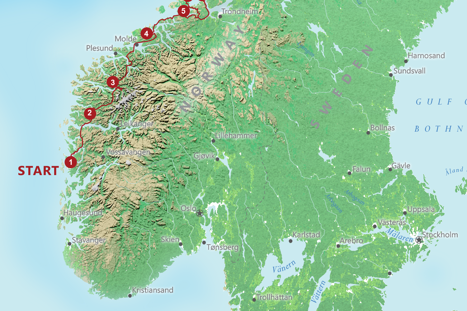
Type: Terrain Map
Programs used: ArcMap, Adobe Photoshop, Adobe Illustrator
Description: Each point represents a stop on a 21-day bike tour through the amazing landscapes of Scandinavia
Please click on image to zoom view